Fire
Respond quickly to disasters and provide strong data support for disaster handling
Business Pain Point Analysis
Drones improve visibility and surveillance, ensuring safer and more effective fire management.
Drones enhance information synchronization and command coordination, improving safety and efficiency for firefighters.
The advantage of drones’ high-altitude perspective can quickly obtain the overall situation and assist in disaster assessment.
Drones bypass these obstacles, ensuring swift arrival and immediate situational assessment.
Solution
Solution 1

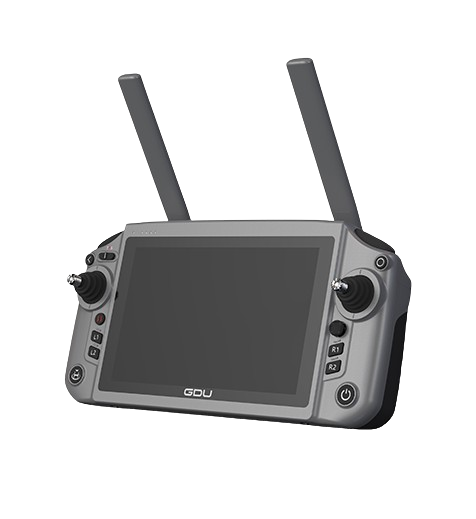
Dragonfish
158mins flight time | 3mins
Assembly 4K50X optical zoom
Up to 108km/h
5s system self-check
30km HD image transmission

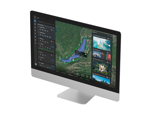
Command Center
Remote real-time control
Cross-model adaptation
Flight data management,
Mission management, Account management,
Equipment management
Solution 2

EVO Max 4T
All-weather obstacle avoidance, No GPS navigation
IP43 protection level,Hot battery replacement
20km HD image transmission, 42mins battery life

Solution 3

S400
Maximum flight time: 63 minutes
Maximum load: 3kg
Maximum take-off altitude: 5000m
Maximum wind resistance: Level 7

PQL01
It perfectly combines Wide-angle visible light cameras, Zoom visible light cameras, Infrared thermal imaging cameras and Long-distance precision laser rangefinders. The intelligent linkage between multiple types of sensors is suitable for multiple industry scenarios.
Application Scenario
What are the application scenarios of drones in public safety management?
Case
What are our successful cases?
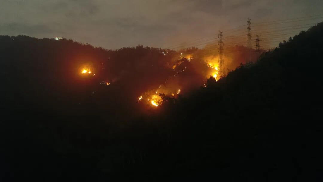
Drones help put out Shenzhen wildfire
The drone was equipped within 2 minutes, took off quickly, and went deep into the fire scene. The real-time images were directly connected to the large screen of the front-line command center, helping firefighters to judge the fire situation and efficiently deploy ground firefighting forces, providing efficient support for firefighting operations.
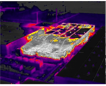
Drones to help rescue chemical fires
In chemical fire application scenarios, thermal imaging can more intuitively obtain the temperature distribution and fire location of the fire scene, and can observe the structure of the fire scene building through the smoke layer, feedback the fire extinguishing and cooling effects, identify potential dangers, and provide important information support for commanding rescue.
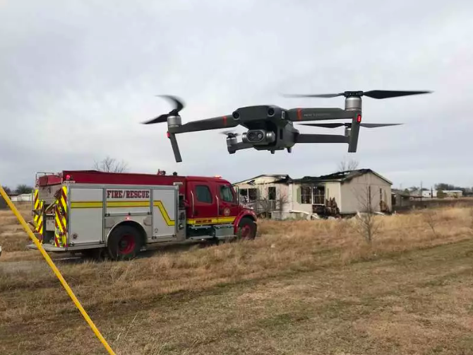
US fire department uses drones to reduce rescue time by 75%
The drone is equipped with a dual-light camera that can fuse visible light images with infrared thermal imaging images, helping on-site commanders obtain key information and accurately locate the fire point to quickly curb the spread of the fire. It is a practical tool for quickly detecting the scope of the fire and finding the fire point.
After-sales service
What are our after-sales services?
Free operation training, technical support and user manuals
After-sales support via phone, email, online chat, video conferencing, etc., so you can easily contact us when needed
The drone and control software will be updated from time to time and are free of charge
We will respond to your questions within 24 hours to ensure they are resolved promptly
Have a question or feedback?
Please reach out to us with any inquiries or feedback. We’re here to help.
Get in touch
Seamless Communication, Global Impact.
Room 101, No. 88, Zengying Lane, Jimei District, Xiamen
Phone : +86 17612182560
